Start/Finish: Lauder to Tibbie Sheils Inn
Terrain: Excellent mix with sustained high-level running on good trails, heather/grass, some forest track, some riverside/lochside, only a couple of road miles!
Transport: First Buses serves Lauder (start), Innerleithen (for Traquair, 27mile fm start), and Gala/Melrose (14/10mile fm start). No regular service for St. Mary's Loch (see note below)
Route: Route Map/Profile | Garmin Course
Southern Upland Way Stages: Prev [1] 2 [3] [4] [5] [6] Next

Summary
A delightful and again varied run with extensive views (on the right day of course). It is a long day though, so a better option (esp. if trying to use public transport) might be to finish at Traquair (27miles) and jog down to Innerleithen for a pint and a bus back to Edinburgh. That means you can come back another day by bus and run Traquair - Beatock/Moffat (regular buses both start/end).
Blog
Another perfect Winter's day for a run along the Southern Upland Way. I'm lucky in that my dad shares my passion for the outdoors, so we tend to set off on these adventures together, he'll go walking and geocaching whilst I go running, and we each have a set of keys for the car.


I saw a lot of other runners this morning - certainly a great location for it. After about 8 miles of easy running the route drops down into the Tweed valley.
On reaching the river bank, the S.U.W. takes you downstream for 3/4 mile to a footbridge before returning back up the other bank beside Melrose.

Then folows some flat cycle-path running along an old railway line almost as far as Galashiels, so its almost a relief when the way markers take you up a sharp hill providing a great vantage point of the surrounding countryside (bench included!) before dropping you into the top of town.
At Galashiels I took a short detour down to a Retail Park, feeling just a tad out-of-place in my mud-caked legs, shorts and running-top walking through the isles in search of sugary food and drink. It was a nice to escape back out onto the hillsides, greeted by a few dogs and shortly after their owners, the trail then returning back down to the Tweed and crossing an old bridge before adopting a more W bearing.

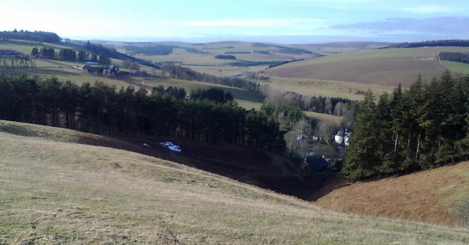
The scenery continues to change, now climbing on good runnable paths into Forest and then above onto moorland, eventually climbing up to the summit of the Three Brethens. The view is worthy of the effort to get up there.
And so continues this high-level (arguably one of the best) sections of the Way, just a couple of short boggy patches but all very runnable as it gently turns by a succession of hilltops, including the shoulder of 560m Minch Moor, before descending steeply down to a carpark at Traquair.

It started to snow as I ran along the near-deserted B-road, and with only 12 miles to go I didn't mind. Fueled by smarties and pepsi I enjoyed the next section as much as the first, climbing back onto moorland and wondering which way the path would take me.
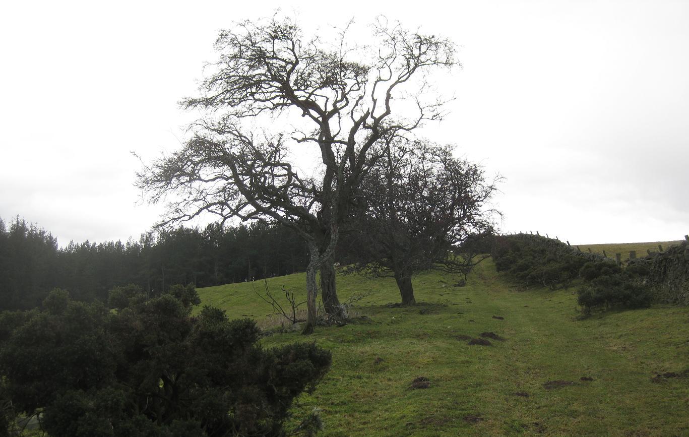
There's a long descent into forest, where I caught my first glimpse of the destination - St. Marys Loch. Having now done nearly 70miles of the Way I knew there would always be one-last-rise before any chosen destination! The route drops to a pleasant Glen/Farm setting before crossing a footbridge then climbing back up the otherside, over a wee dell, then gradually heading for the last pass of the day with St. Marys Loch now immediately afore.
I knew the final 3 miles were flat, so decided to pick the pace up and finish strong, visualizing a nice pint of beer in Tibbie Shiels, and staying the night. Neither happened as the rooms were shut for Winter renovations, what a pity!

Icy reflections on St. Mary's Loch
Southern Upland Way Stages: Prev [1] 2 [3] [4] [5] [6] Next